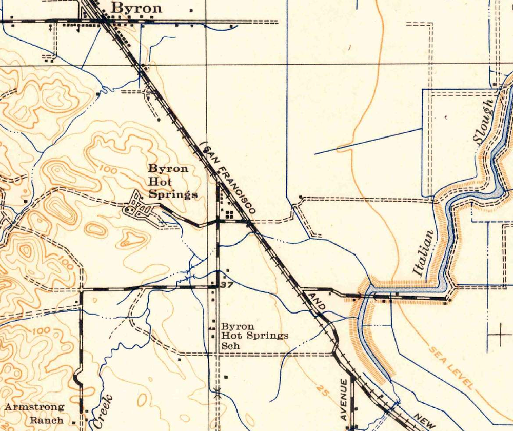
A 1940 USGS topographical map showing Byron Hot Springs (left of center) along the Southern Pacific’s “San Francisco and New Orleans” route.
A 1940 USGS topographical map showing Byron Hot Springs (left of center) along the Southern Pacific’s “San Francisco and New Orleans” route.


Railtown Tracy is a recognized 501(c)(3) not-for-profit charitable organization under Section 170 of the IRS Code.

© 2024 Railtown Tracy
Theme by Anders Noren — Up ↑
Have A Comment?